


Integrating GIS Files with Site Design Workflows – Webinar
Hosts: Eric Gilbey, PLA, ASLA, Product Marketing Manager – Landscape, Vectorworks, Inc.
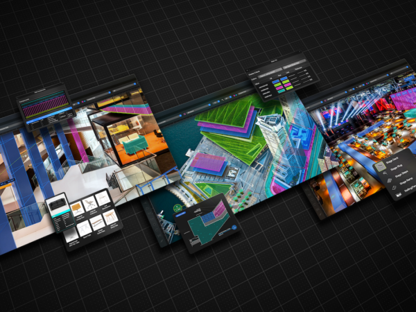
GIS and CAD workflows have taken place in parallel realms for many years, with the functionalities rarely overlapping. Until recently, exchanging these files for maximum benefits would have been limited to overlaying exported GIS images in design files, or manually digitizing shapes into the drawing file. This course will discuss how site design software solutions not only could help import and export GIS files, but also to manage data rich files and use them for file development – from conceptualization through design development to construction drawings.
Learning Objectives:
- Learn how GIS files can be utilized in creating base files within CAD workflows and continue to be useful in each stage of site design.
- Discover how imported GIS file geometry can be modified, either by referencing its data, producing studies, or including 3D models for further analysis and presentations.
- Understand that the planning work produced within site design software can be exported as shapefiles or georeferenced images to be incorporated into GIS workflows.